

Recommended Software
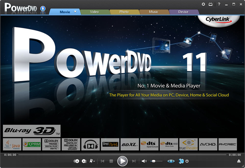
CyberLink PowerDVD 11
PowerDVD 11 is the ultimate universal media and Blu-ray player that extends your viewing experience beyond just movies. Play Blu-ray Discs, DVDs, video files, music, and now you can even view photos, all from one universal player. Stream content from your smart device, DLNA server or cloud to...
DOWNLOADSoftware Catalog
 Android Android |
Business & Productivity Tools |
| Desktop |
Developer Tools |
| Drivers |
Education |
| Games |
Home & Personal |
| Internet & Networking |
Multimedia & Design |
| Operating Systems |
Utilities |


MPSuperShape Feedback System
MPSuperShape Info
License: Shareware | Author: Winwaed Software Technology LLC | Requirements: MapPoint 2006 (or later), .NET Framework v2 (or later)
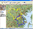
MPSuperShape is a shape manipulation tool for Microsoft MapPoint. MPSuperShape can be used to combine multiple shapes into one large shape, find the intersections (overlaps) between shapes, find boundary shapes around groups of pushpins, simplify shapes, delete multiple shapes, change shape colors, import/export shape files, and to create web pages. Import shape options include ESRI Shape (SHP) files, MapInfo MIF files, Keyhole (KML), and GML. MPSuperShape can also export to ESRI Shape (SHP) files; MapInfo MIF files; GML; KML; pushpins in shapes to Excel; and webpages that use Google Maps or Microsoft Bing Maps (Virtual Earth). Shapefile SHP and MapInfo MIF import/export options support different projections and coordinate systems.
Possible applications include: Combining drive-time areas to find the total area covered by existing depots; Finding territory overlaps; Finding areas which meet multiple characteristics; Finding territory boundaries around groups of customer pushpins; Transferring shapes to/from other GIS systems; Create webpages from MapPoint shapes and pushpins. MPSuperShape provides the following benefits: Combine multiple shapes; Find the intersection (overlap) between shapes; Find boundary shapes around a group of pushpins; Simplify shape definitions for improved MapPoint efficiency; Import shapes from external (non-MapPoint) files; Export shapes to external (non-MapPoint) files; Create webpages that use Bing Maps (Virtual Earth) or Google Maps to display MapPoint pushpins and/or shapes; Copy shapes between different MapPoint maps - reuse the same shapes on multiple maps. The import and export options support GML and KML. GML is an XML-based open GIS format that is managed by the Open Geospatial Consortium. KML ('Keyhole Markup') is the XML language for Google Earth, but it is also supported by Google Maps and Microsoft Bing Maps. Requirements: MapPoint 2006 (or later), .NET Framework 2.0 (or later), and Windows XP, Vista, or Windows 7 required.
Winwaed Software Technology LLC Software
 GridImp - Imports gridded data into MS-MapPoint, to produce attractive data maps.
Input data is defined with geographic coordinates, allowing plots such as seismic hazard, customer/population distribution, etc. Various text formats and coordinates supported.
GridImp - Imports gridded data into MS-MapPoint, to produce attractive data maps.
Input data is defined with geographic coordinates, allowing plots such as seismic hazard, customer/population distribution, etc. Various text formats and coordinates supported. MileCharter - Calculate Mileage Charts and Tables with Microsoft MapPoint. Calc. tables for customers and suppliers incl. "closest only", or to create "road atlas" tables. Output Distances, travel times and/or estimated costs to Excel. Supports ALL route options.
 US Mileage Charts - US Mileage Charts and Tables in Excel format, including travel times and distances for both the fastest and shortest routes.
Includes sets of tables for every US State, and one large pan-US chart.
US Mileage Charts - US Mileage Charts and Tables in Excel format, including travel times and distances for both the fastest and shortest routes.
Includes sets of tables for every US State, and one large pan-US chart. RouteWriter - Imports and Exports MapPoint waypoints and pushpins in route-order. MapPoint always re-arranges pushpins when it does this. Exports routes directly to Excel, or you can create a route from pushpins in a pre-determined order.
 MPMileage - Batch calculate distances, travel times, and/or costs for point-to-point routes listed in a database (Access, Excel, or ODBC). Uses MapPoint for point locations and route calculations. Supports all of MapPoint's route options.
 Top Downloads
- Outlook Message Autofill
- MyCafeCup Internet Cafe WiFi CyberCafe Software.
- PrintConductor
- eTalkup
- #1 Easy Invoice Program - Free Download
- Feet and Inches Calculator
- Euro Calculator
- Magic ASCII Studio
- Best Flobo Repair Disk
- Posterita POS

New Downloads
- PrintConductor
- Word Viewer
- Word Reader
- Absence Management System
- Word to PDF Converter
- ESBCalc Pro - Scientific Calculator
- Free PDF Converter
- HIPAA Security Rule Assistant
- Stock Quotes Pro
- Stock Predictor

New Reviews
- jZip Review
- License4J Review
- USB Secure Review
- iTestBot Review
- AbsoluteTelnet Telnet / SSH Client Review
- conaito VoIP SDK ActiveX Review
- conaito PPT2SWF SDK Review
- FastPictureViewer Review
- Ashkon MP3 Tag Editor Review
- Video Mobile Converter Review
Actual Software
| Link To Us
| Links
| Contact
Must Have
| TOP 100
| Authors
| Reviews
| RSS
| Submit


