

Recommended Software
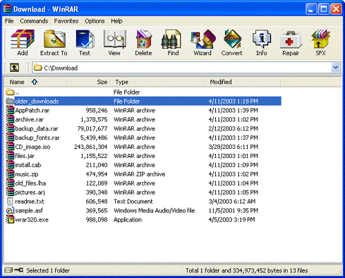
WinRAR 3.90
WinRAR is a 32-bit/64-bit Windows version of RAR Archiver, the powerful archiver and archive manager. WinRARs main features are very strong general and multimedia compression, solid compression, archive protection from damage, processing of ZIP and other non-RAR archives, scanning archives for...
DOWNLOADSoftware Catalog
 Android Android |
Business & Productivity Tools |
| Desktop |
Developer Tools |
| Drivers |
Education |
| Games |
Home & Personal |
| Internet & Networking |
Multimedia & Design |
| Operating Systems |
Utilities |


Canvas GIS Advanced Screenshot
Canvas GIS Advanced 9.0.4
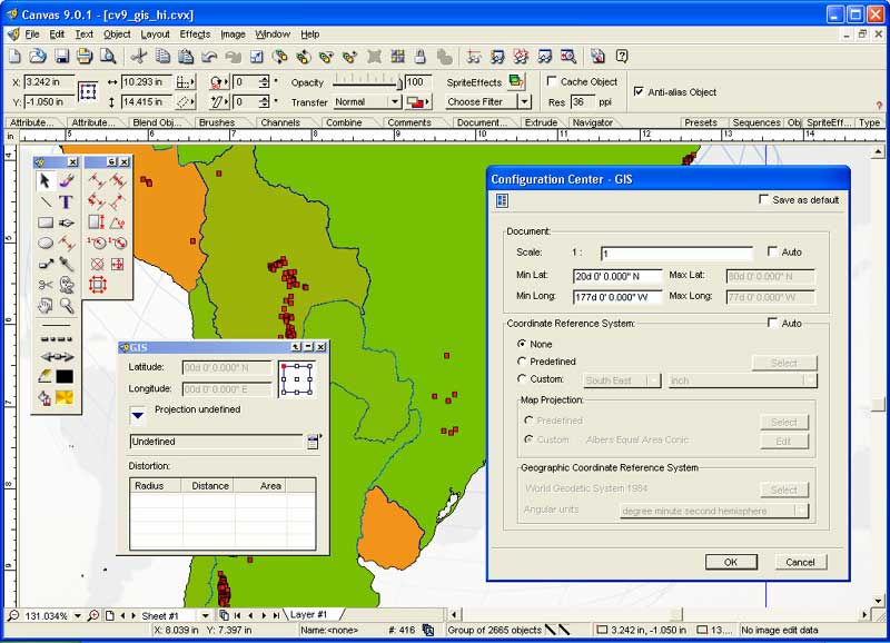
CANVAS 9 Advanced GIS Mapping Edition includes direct support for Geographic Information System data. Take measurements in geographic coordinates, import any popular GIS file types into unlimited numbers of automatically aligned overlapping layers.
DOWNLOAD
Related Software
3d Graphics Software | Cad | Desktop Publishing | Desktop Software | Drawing Software | Engineering Software | Geotiff | Gis Positioning Software | Gis Software | Graphics Software | Hide Files Software | Presentation Software | Shape Files | Software dau-9p | Technical Drawing Software | Vector Illustration Software | Vector software | Web Graphics Software | Web Publishing Software
 Canvas GIS Advanced (Mac) - CANVAS 9 Advanced GIS Mapping Edition: Direct support for Geographic Information System data. You can take measurements in geographic coordinates, import any popular GIS file types into unlimited numbers of automatically aligned overlapping layers.
- PhotoArtist for Mac - PhotoArtist works in exactly the same way as a professional artist chooses differently coloured paint, mixes them on a palette and paints them on the canvas or paper. The only difference: PhotoArtist does this fully automatically.
- PhotoArtist - PhotoArtist works in exactly the same way as a professional artist chooses differently coloured paint, mixes them on a palette and paints them on the canvas or paper. The only difference: PhotoArtist does this fully automatically.
- Canvas GIS Mapping Edition (Mac) - CANVAS 9 GIS Mapping Edition includes direct support for Geographic Information System data. You can take measurements in geographic coordinates, import SHAPE & GeoTIFF files into unlimited numbers of automatically aligned overlapping layers.
- Canvas GIS Mapping Edition - CANVAS 9 GIS Mapping Edition includes direct support for Geographic Information System data. You can take measurements in geographic coordinates, import SHAPE & GeoTIFF files into unlimited numbers of automatically aligned overlapping layers.
- Canvas Professional Edition (Mac) - CANVAS 9 is the high-performance drawing environment for professionals in business, science, and engineering. It seamlessly integrates technical drawing, image editing, page layout, web graphics & presentation features into a single application.
- Canvas Professional Edition - CANVAS 9 is the high-performance drawing environment for professionals in business, science, and engineering. It seamlessly integrates technical drawing, image editing, page layout, web graphics & presentation features into a single application.
- Canvas Scientific Imaging Edition (Mac) - CANVAS 9 Scientific Imaging Edition blends native support for advanced imaging and DICOM support with Canvas' full range of vector illustration, image editing, page layout, web graphics, and desktop presentation features.
- Canvas Scientific Imaging Edition - CANVAS 9 Scientific Imaging Edition blends native support for advanced imaging and DICOM support with Canvas' full range of vector illustration, image editing, page layout, web graphics, and desktop presentation features.
 !Quick Screenshot Maker - Quick Screenshot Maker is an excellent tool for screen capturing, screen shot editing. It can capture screenshot and directly send it to the current canvas, also, it can Edit several captures in one screenshot project.
 Top Downloads
- Gadwin PrintScreen
- Scanitto
- Sketsa
- AKVIS Stamp
- Edraw Max
- Mosaic Creator
- Magnifixer
- Frame from AVI
- progeCAD 2007 Standard
- True BoxShot

New Downloads
- Magnifixer
- Scanitto
- Urban Graphic
- Visual Data
- PostworkShop
- Edraw Max
- CoverME
- progeCAD 2007 Standard
- Sketsa
- True BoxShot

New Reviews
- jZip Review
- License4J Review
- USB Secure Review
- iTestBot Review
- AbsoluteTelnet Telnet / SSH Client Review
- conaito VoIP SDK ActiveX Review
- conaito PPT2SWF SDK Review
- FastPictureViewer Review
- Ashkon MP3 Tag Editor Review
- Video Mobile Converter Review
Actual Software
| Link To Us
| Links
| Contact
Must Have
| TOP 100
| Authors
| Reviews
| RSS
| Submit


