

Recommended Software
CloudBerry Explorer for Amazon S3 1.5.1.39
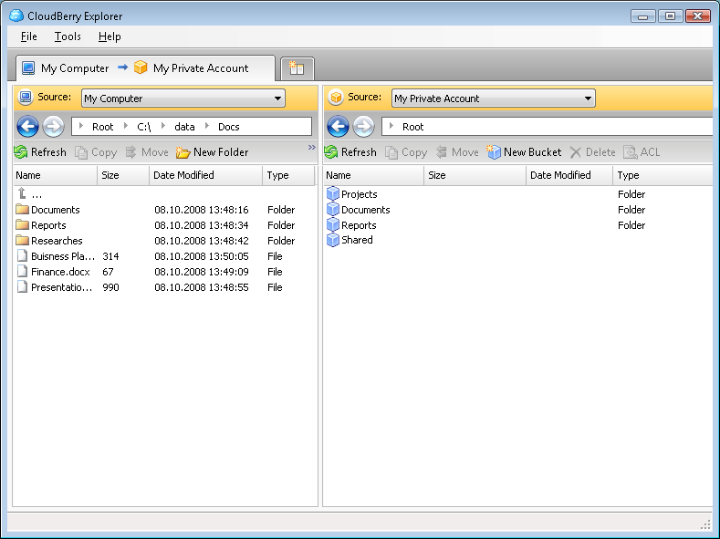
CLOUDBERRY EXPLORER FOR AMAZON S3 CloudBerry S3 Explorer makes managing files in Amazon S3 EASY. By providing an industry leading user interface (GUI) to Amazon S3 accounts, files, and buckets, CloudBerry lets you manage your files on cloud just as you would on your own local computer. New...
DOWNLOADSoftware Catalog
 Android Android |
Business & Productivity Tools |
| Desktop |
Developer Tools |
| Drivers |
Education |
| Games |
Home & Personal |
| Internet & Networking |
Multimedia & Design |
| Operating Systems |
Utilities |


SEVENPAR (English) Feedback System
SEVENPAR (English) Info
License: Shareware | Author: C. Killet Software Ing.-GbR | Requirements: 500 MHz, 500 MB Memory, 100 MB HD
SEVENPAR is a tool for the calculation of highly exact transformation parameters for the Spatial Helmert and Molodensky Transformation, which make possible precise coordinate transformations from one reference system into another. The determined transformation parameters can be entered directly into suitable transformation software, e.g. TRANSDAT Coordinate Transformations, or into the calculation software of GPS receivers to do exact coordinate transformations. The seven or three transformation parameters are computed with a set of individual identical points. Those are points with known coordinates in both reference systems (geodetic datum). Cartesian coordinates, geographical coordinates or UTM coordinates with or wihtout ellipsoidal height using the ellipsoid dimensions are suitable. Identical measuring points of higher order can be usually inquired or referred by the official institutions for measurement. The necessary ellipsoid half-axes and flattenings are available in the program for the selection from lists. The coordinates of the identical points are tested intensively on outliers and deviations by different statistic procedures. The quality of the computed parameters is documented by a residual matrix and by the computation of the middle, maximum and root mean square (RMS) deviations. The seven parameters of the Spatial Helmert Transformation are calculated in the three most usual standards Coordinate Frame Rotation, Position Vector Transformation and European Standard ISO 19111. The three parameters for Molodenky parameter sets are calculated using the Standard Molodensky Transformation. The program has a user-selectable English, German and Spanish interface and comes with extensive bi-language online help. It can be run on most common networks and it is possible to use Terminal Services on WINDOWS Servers. The client installations are done automatically.
Notice: * - required fields
C. Killet Software Ing.-GbR Software
 TOPOWIN - TOPOWIN is a state-wide register of the German topographic cartographies and of localities with geo references in different coordinate systems. It also is a topographic information system.
 Geodaten German Admin (Deutsch) - Geodata of the Federal Republic Germany with municipalities, postal codes, telephone preselections. Georeferences as Gauss Krueger- UTM- and geographic coordinates. Suitable for branch searches, periphery searches and distance computations.
 ORTWIN - ORTWIN is a program for the inquiry of localities in Germany. It finds postal zip codes, telephone pre selections, coordinates. It performs perimeter searches and distance calculations. It finds landscapes, natural units, snow- and wind load zones.
 TRANSDAT (English) - TRANSDAT Geosoftware executes coordinate transformations and geodetic datum shifts between lots of coordinate and reference systems of America, Australasia, Europe, Germany spec. and world-wide. The NTv2 standard with national grid files is supported
 TRANSDAT (Deutsch) - TRANSDAT Coordinate Conversion supports thousands of coordinate systems and geodetic datum shifts, user-defined systems, INSPIRE, NTv2, BeTA2007, GPS, continental drift, many file systems, ESRI-Shape and much more with highest accuracy.
 GEODLL32 (Deutsch) - In the DLL GeoDLL geodesic functions like 2D and 3D coordinate transformation, datum changes, meridian strip changes, NTv2, distance calculation, map functions, Digital Elevation Models ec. are contained to bind them into own WINDOWS applications.
 Top Downloads
- TATEMS Fleet Maintenance Software
- Free PowerPoint Templates
- Business Correspondence - How To Write A Business Letter
- PMM Personal Memory Manager
- MS Project Viewer
- Excel List Compare
- SignPack
- PayWindow Payroll System
- Rotating Shift Schedules for Your People
- The Myspace Editor

New Downloads
- PayWindow Payroll System
- SignPack
- DTM Data Generator
- SecureBridge
- Vehicle Fleet Manager
- Throttle
- Able MPEG2 Editor
- Advanced Diary
- Spartan U3 Multi Clipboard
- Time Zone Helper

New Reviews
- jZip Review
- License4J Review
- USB Secure Review
- iTestBot Review
- AbsoluteTelnet Telnet / SSH Client Review
- conaito VoIP SDK ActiveX Review
- conaito PPT2SWF SDK Review
- FastPictureViewer Review
- Ashkon MP3 Tag Editor Review
- Video Mobile Converter Review
Actual Software
| Link To Us
| Links
| Contact
Must Have
| TOP 100
| Authors
| Reviews
| RSS
| Submit


